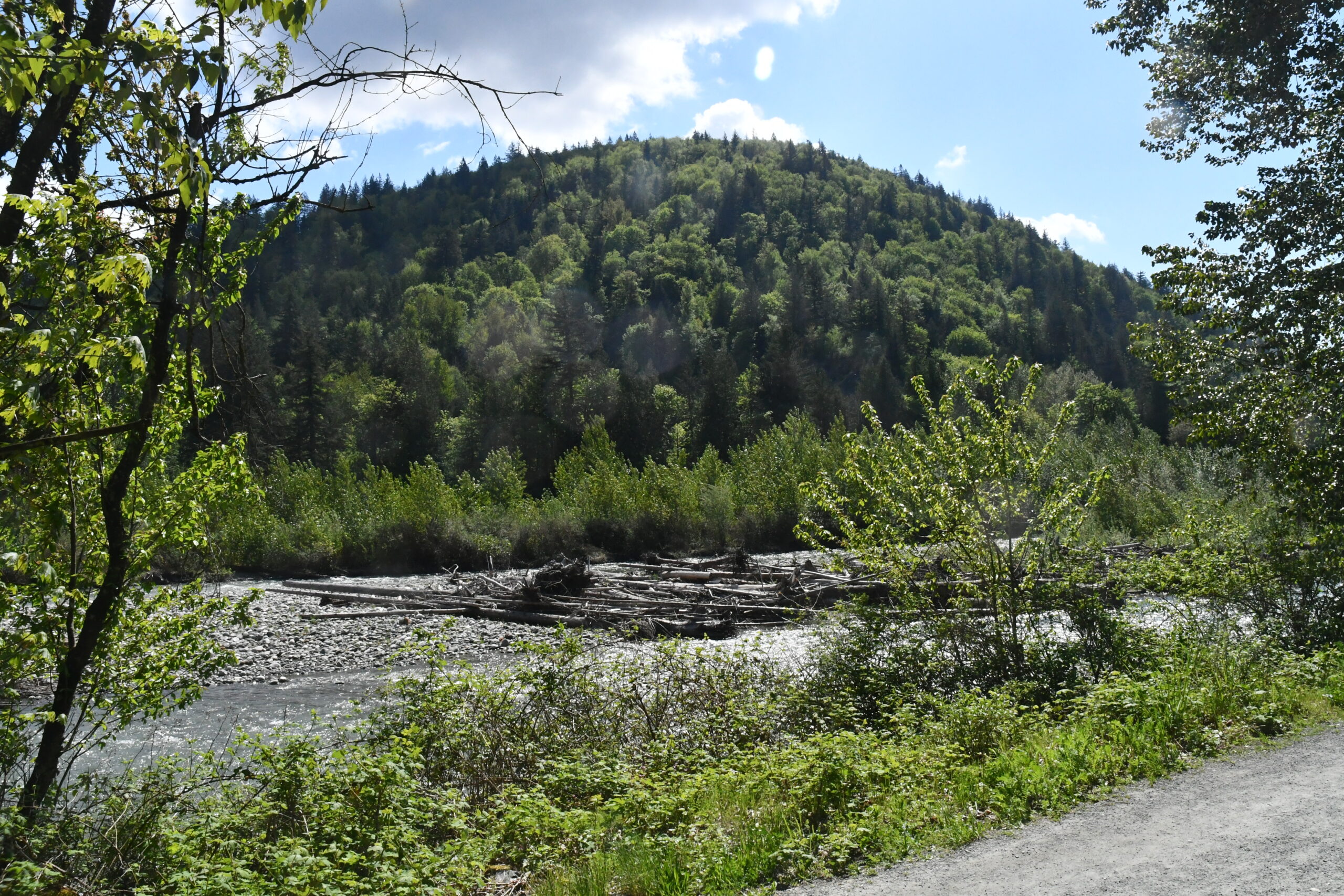
Coquihalla – Here it comes, the first warning of the 2019-2020 season.
High elevation snow beginning Friday.
A cold airmass will settle in over the BC Interior beginning Thursday night and persist through the weekend. Lowering freezing levels and unsettled conditions will support the chance of snow over higher elevations.
Kootenay Pass has the potential to see a significant amount of snow during this period. Rain will likely give way to periods of snow near the summit on Friday night and could persist well into Sunday. At this time, amounts remain quite uncertain, but snowfall accumulations of 5 to 15 cm are possible by Saturday night.
Lesser elevation passes, including Rogers Pass, the Coquihalla Highway – Merritt to Kamloops and the Okanagan Connector, should see snow near the summits beginning Friday with light accumulations possible through the weekend.
Areas along the BC – Alberta border are expected to see snow as well. In the Elk Valley, freezing levels will hover just above the valley bottom on Friday and drop Friday evening. A changeover to snow is likely Friday night with periods of snow possibly persisting through Sunday. Again, accumulations remain uncertain at this time, but 5 to 10 cm by Saturday night is plausible.
A return to drier conditions and seasonal temperatures are expected early next week.
Weather in the mountains can change suddenly resulting in hazardous driving conditions.
Road conditions are available at www.drivebc.ca.


