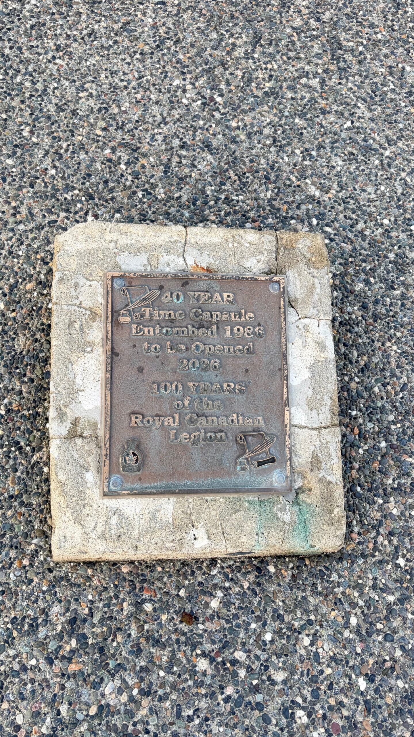
Chilliwack (Roger Pannett, Environment Canada) – September 2020, Data recorded by Roger Pannett, Volunteer Weather Observer for Environment Canada at the City of Chilliwack.
| Variable | September 2020 | 30 Year Average |
| Mean Maximum | 23.36 C | 21.0 C |
| Mean Minimum | 13.55 C | 10.2 C |
| Mean Temperature | 18.46C | 15.6 C |
| Rainfall | 78.5 mm | 112.7 mm |
| Snowfall | – | – |
| Total Precipitation | 78.5 mm | 112.7 mm |
| Days of Rain | 9 days | 11 days |
| Days of Snow | – | – |
| Total Days of Precipitation | 9 days | 11 days |
| Frosts | – | – |
| Relative humidity average | 68.32 % |
On Labor Day Monday, September 7th, with an amplified ridge of high pressure over northern B.C, rising atmospheric pressures produced strong and gusty, dry outflow winds. Temperatures rose to 28.0 ⁰C (6.8 ⁰C above normal) with a very low 12% relative humidity. On September 9th, temperatures peaked for the month at a record 32.9 ⁰C (11.2 ⁰C above normal) with the relative humidity remaining low at 22%.
The strong ridge of high pressure, with clear sunny skies, contributed to four high temperature records: –
Date. New Record. Previous Record.
September 9th. High Max 32.9 ⁰ C (+11.2 ⁰C) 32.2 ⁰C in 1963.
September 10th. High Max 32.6 ⁰C (+ 11.0 ⁰C) 30.4 ⁰C in 2007.
September 10th. High Mean 24.75 ⁰C (+ 9.15 ⁰C) 21.5 ⁰C in 2013.
September 10th. High Min 16.9 ⁰C (+7.2 ⁰C) 16.7 ⁰C in 1954.
There were 3 hot days with temperatures exceeding 30.0 ⁰C, compared to the average 1 hot day with a + or – 1.6 day standard deviation.
The associated 14-day dry spell was the longest of the summer. As the ridge of high pressure shifted eastwards with a consequent southerly air flow, for over a week, very smoky conditions developed coming from the devastating Oregon and Washington state wildfires. Air quality readings deteriorated to 10 +, a very high health risk and lasting longer than the September 2017 wildfire smoke situation. Thankfully, after mid-month, light showers started to clear the air.
As Fall arrived, on September 22nd, a major weather pattern change occurred. A series of vigorous moisture laden Pacific frontal systems produced rain, heavy at times with gusty south west winds. However total September rainfall was > 30 % below normal.
The City of Chilliwack 2020 precipitation total to date is 1,005.2 mm on 135 days compared to the 30-year average of 1,160 .5 mm on 117 days.
Prior to months end, a strong ridge of high pressure rebuilt over the Province with temperatures rising 4 ⁰C to 8 ⁰C above normal. Beneath clear skies, overnight on September 28th ,temperatures dipped to the low for the month at 8.8 ⁰C but still 1.0 ⁰C above normal.
With mean temperatures at 18.46 ⁰C, 2.86 ⁰C above normal, it was the warmest September since Chilliwack temperature records commenced in 1895 and the 5th consecutive September with above normal temperatures. (The previous warmest September was in 2017 with a mean temperature of 18.32 ⁰C.)