Fraser Valley – Figures, a Friday the 13th.
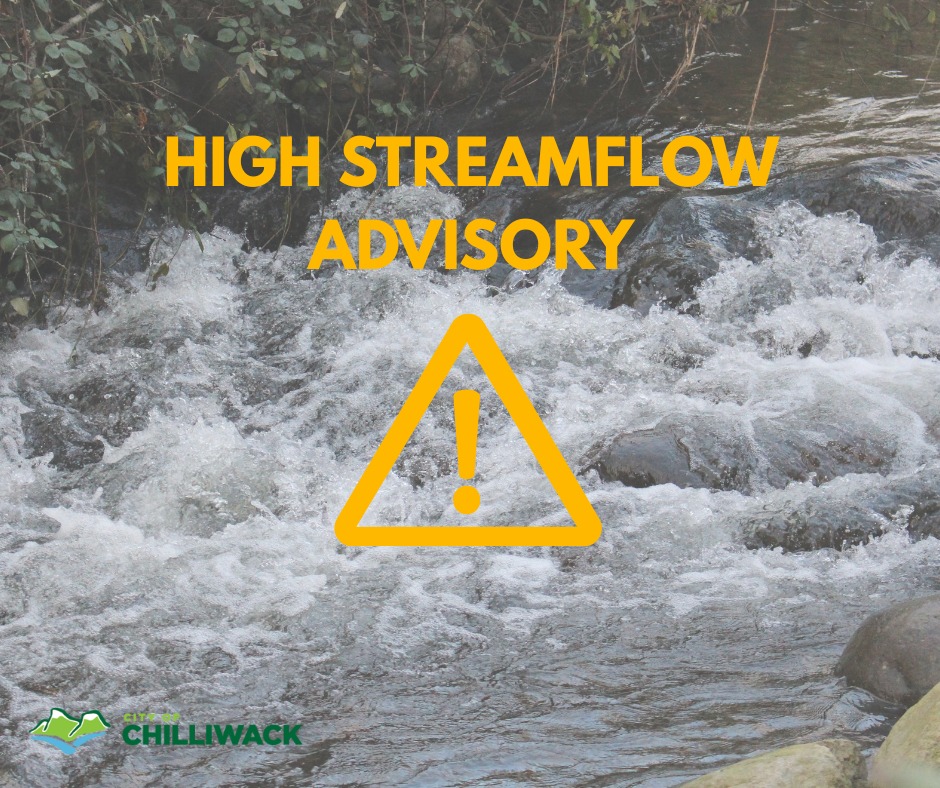
MARCH 17 UPDATE – The BC River Forecast Centre’s High Streamflow Advisory remains in place for the Fraser Valley. https://bcrfc.env.gov.bc.ca/warnings/index.htm
The Fraser Valley Regional District (FVRD) Emergency Operations Centre (EOC) is now active at Level 2.
Heavy rainfall, combined with runoff from melting snow, is expected to produce high flows in the Chilliwack River from March 17-22, 2026. Tuesday, the BC River Forecast Centre is predicting a 1:100 year flow on March 20 and 21, 2026. Flows of this volume would overtop the bank and result in flooding and erosion.
Occupants of properties near the Chilliwack River in Electoral Area H should prepare for potential flooding. View https://www2.gov.bc.ca/…/know-your…/floods/before-flood for flood preparation activities.
Landslide risk increases during periods of heavy rainfall when slopes are saturated with water. Please monitor slopes for signs of movement. Stay back from riverbanks and avoid fast moving water. Drive with caution during extreme weather events and do not drive through flooded areas.
What does it mean to have an EOC activated to Level 2?
– FVRD staff are monitoring forecasts, analyzing local weather projections for highly vulnerable areas within FVRD jurisdiction for the current rainfall event and projected continuous rain the Fraser Valley.
Helpful Information on Preparedness and Awareness:
– Visit FVRD’s website https://www.fvrd.ca/…/emergency…/get-prepared.html to learn about potential hazards in the region, and how to develop a plan for your family’s safety with detailed information and resources.
MARCH 13 ORIGINAL STORY – The River Forecast Centre has issued a High Streamflow Advisory for our area.
Please stay back from fast flowing waterways.
A strong atmospheric river is forecast to impact coastal British Columbia beginning mid-day on
Sunday, and potentially continuing for several days. Current weather models indicate the initial
pulse of heavy precipitation will impact the South Coast late Sunday into Monday and continue
through much of the week.
Environment and Climate Change Canada forecast totals for the event (Sun Mar 15 to Wed Mar
18) include:, Metro Vancouver (60–120 mm), North Shore Mountains (120–180 mm), Fraser Valley (60–120 mm)
Freezing levels are forecast to rise quickly, reaching up to 3000 m above sea level by Monday.
Additional runoff from snowmelt is expected in areas where snow remains on the ground.
Uncertainty remains regarding the exact duration and intensity of the atmospheric river. Forecast
models suggest the potential for multiple pulses of rainfall, which could extend the period of
elevated runoff and river response through the middle of next week or longer.
For more information, visit https://loom.ly/5JlhLfo.