Fraser Valley Regional District (Fraser Valley Regional District) – The Fraser Valley Regional (FVRD) is asking residents to continue to submit incidents to help the FVRD track damage caused by the recent atmospheric river event. With a deadline for submitting reports quickly approaching, the FVRD is asking for FVRD residents to update or report damage or impacts to their private property by Friday, January 9, 2026 at 4:30 p.m. by using the FVRD Emergency Status Map. For convenience, residents can report information 24 hours a day prior to the deadline.
This information provides the FVRD with critical insight into the damage experienced across the region, no matter how small or how large the damage is. The information in turn, is extremely valuable in providing insight into what FVRD residents experienced across the FVRD. The information also strengthens the required reporting by the FVRD to the Province of British Columbia in an effort to have the incident considered an authorized event for Disaster Financial Assistance (DFA).
Administered by the Ministry of Emergency Management and Climate Readiness (EMCR), DFA is a provincial recovery funding program. The intent of DFA is to provide assistance for essential and uninsurable losses in recovering from emergencies. Therefore, having a clear indication of the damage and impacts experienced by residents because of the December 2025 atmospheric river incident, creates an opportunity for residents to help each other by creating a snapshot of the regional impacts and damages.
Help the FVRD tell the story of damage by reporting on the FVRD Emergency Status Map. Information from across the region, not only from the FVRD Electoral Area E, is valuable.
What type of damage on private property is helpful to be reported:
- localized flooding
- water in basements or crawlspaces
- debris flow
- landslides
- downed trees
- other damages
Residents’ reports will help in generating the overall damage story from across the region.
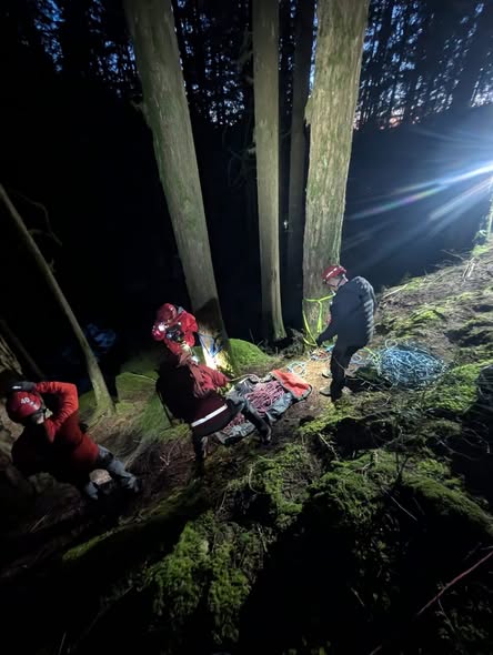
The FVRD Emergency Operations Centre (EOC) staff continue to monitor and remain in a state of readiness. The EOC Public Information Line (778-704-0400) continues to receive messages.
State of Local Emergency, Evacuation Order & Alerts (current):
- Evacuation ORDER – two properties on Chilliwack Lake Road
- View the FVRD Electoral Area E SOLE
How to Stay Informed:
- fvrd.ca/eoc and fvrd.ca/alerts for the most up-to-date information
- If you need assistance or wish to report a localized incident, please call the FVRD EOC Public Information Line at 778-704-0400 (if you reach our voicemail, please leave a message and staff will return your call)
- Alertable for Emergency Community Notifications through email, SMS, and phone call notifications
- DriveBC.ca for road conditions and route planning
- BCHydro.com/outages for local power outage information
- Weather.gc.ca for monitoring weather alerts, warnings, forecasts
- PreparedBC.ca for preparedness info
Safety Reminders:
- Emergencies Dial 9-1-1
- Dial 1-800-663-3456 for the Provincial Reporting Line (floods, landslide)
- High Winds
- Have the potential to bring down power lines and trees, cause power outages, and create flying debris
- A downed power line is a danger, stay back 10 metres and call 9-1-1
- Rain and High Water Levels
- Water can pool on roads. Never drive through flooded roads and crossings
- Stay away from fast-moving creeks and rivers.
- Parks, Trails, Forested Areas
- Exercise extreme caution during changing weather conditions. For FVRD parks, please report any concerns to parks@fvrd.ca
Resources Available to Residents:
- Sandbags are available for impacted residents at the following locations. Please bring your own shovel.
- Chilliwack Lake Road – Fire Hall
- Hunter Creek Exit – Laidlaw (see map link) https://maps.app.goo.gl/N382m3Gv47uApEFQ9
- Harrison Mills – just east of the Sasquatch Inn at the intersection of Highway 7 and Chehalis FSR (see map link) https://maps.app.goo.gl/kZiM82k9D4JYsowZA
- To access Emergency Support Services, go to https://ess.gov.bc.ca/
- To stay up to date on current emergencies in B.C., go to https://www.emergencyinfobc.gov.bc.ca/
- For information about roads, highways, and route interruptions, please see: https://www.drivebc.ca/
- To learn more about emergency preparedness and to sign up for emergency alerts, visit https://www.fvrd.ca/EN/main/services/emergency-management.html
- To sign up for emergency notifications on Alertable visit https://www.fvrd.ca/EN/main/services/emergency-management.html
Tips to Be Prepared for an Emergency:
- Pre-register for Emergency Support Services by creating a profile at https://ess.gov.bc.ca/
- Utilize the FVRD Emergency Workbook to enhance your emergency preparedness.
- Learn about the stages of an Evacuation here: https://www.fvrd.ca/EN/main/services/emergency-management/get-prepared.html
- Prepare an emergency kit and grab-and-go bag
The FVRD is the third most populous regional district in British Columbia and one of twenty-seven throughout the province. The FVRD delivers over 100 services to approximately 340,000 residents across a land base of 13,361 square kilometers. The FVRD’s eight electoral areas include all of the unincorporated communities on the north and south sides of the Fraser River, reaching up beyond the Nahatlatch River in the north and extending down to the U.S. border in the south. The FVRD is responsible for governance, administration and services for the eight electoral areas, each named separately by letters of the alphabet (A-H). Learn more about the FVRD at fvrd.ca.