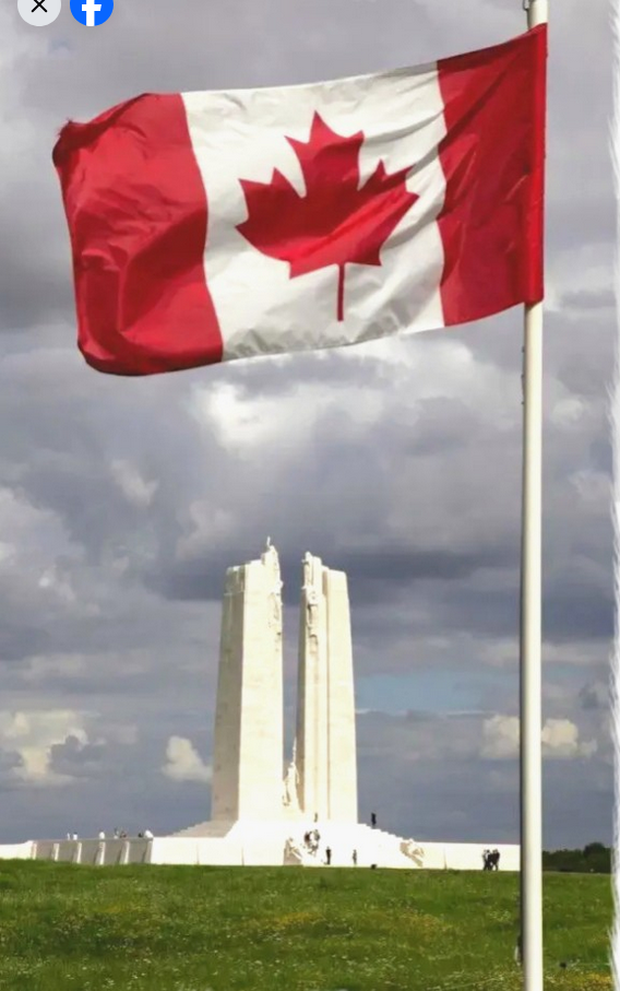
Fraser Valley – The Provincial Ministry of Water, Land and Resource Stewardship issued a Flood Warning – Sumas River (UPGRADE)
Maintaining Flood Watch – South Coast including Howe Sound, Sunshine Coast, Sea-to-Sky and North Shore Mountains
- Fraser Valley – North including tributaries from Port Coquitlam to Harrison
High Streamflow Advisory – Lower Fraser River tributaries including areas around Pemberton and Lillooet River tributaries, Fraser Valley – East (except Sumas River), and Fraser Canyon
Issued: 1:30 PM January 28, 2024
UPGRADE: #BC River Forecast Centre has upgraded to Flood Warning for Sumas River. River levels have exceeded or will exceed the river bank soon. Stay clear of flood water. More info: https://t.co/kTpELSFANC #BCFlood pic.twitter.com/Ct4Ns6grJz
— Emergency Info BC (@EmergencyInfoBC) January 28, 2024
A series of potent storms is impacting coastal British Columbia. Initial storms have delivered 50 to 160 mm through most of the region since Friday. Current forecasting is indicating the next atmospheric river event to make contact later on Sunday through Monday, and another system from Monday into Tuesday. The heaviest rainfall is currently forecast over West Vancouver Island and the Coast Mountains. Temperatures are expected to warm during this period, and
snowmelt at lower and mid-elevations will provide additional runoff to rivers.
High flows on the Nooksack River in Washington State have reached local flood stage, with stage at the Nooksack River near Cedarville gauge reaching 147.2 ft at 12:30pm Sunday morning.
Rivers have risen, and are expected to experience periods of high flows into next week. Peak river levels are expected to occur in most areas on Sunday to Tuesday and may extend from Tuesday to Thursday for lake-driven rivers. Hydrologic modelling is indicating potential flood conditions to develop in areas with the heaviest rainfall.