Fraser Valley/Victoria – The Ministry of Emergency Management and Climate Readiness and the Ministry of Forests are investing $8.69 million for flood-hazard mapping by March 2024, including funding to support B.C.’s Climate Preparedness and Adaptation Strategy. This investment also leverages $4.33 million in a federal funding commitment through the Flood Hazard Identification and Mapping Program with Natural Resources Canada.
“Understanding the risk posed by floods is the first step in helping prevent the damage they can cause,” said Bruce Ralston, Minister of Forests. “By providing more widespread flood-hazard mapping, we are providing communities with the tools they need to properly prepare for extreme weather as we all confront the challenges of climate change.”
The first five flood-hazard mapping areas, which include approximately 70 communities, are along:
- the Fraser and Nechako rivers in the Prince George area;
- the Bulkley and Skeena rivers from Houston to downstream of Terrace;
- Shuswap Lake and the mainstem rivers that drain into it;
- the Nicola and Coldwater rivers ; and
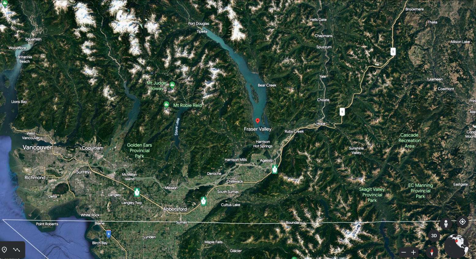
- the Coquihalla and Fraser rivers from Yale to Mission.
Flood-plain mapping provides a detailed understanding of potential flooding, informing a variety of projects that can help reduce the impacts of flooding, as well as supporting local decisions by First Nations and local governments to establish appropriate zoning and flood construction levels.