Fraser Valley – As of 5 PM Monday evening, Environment Canada says that for Tuesday, an upper level disturbance will move southwards along the BC coast, leading to a chance of flurries beginning in the afternoon.
A developing area of low pressure following this feature is forecast to reach the south coast on Tuesday night, potentially bringing significant snowfall accumulations to the area.
Overnight on Tuesday, an increasing southeasterly flow will usher in warmer air and a transition from snow to rain is likely some time before Wednesday morning. Areas further inland can expect this transition to be delayed. Parts of the Fraser Valley will have a brief risk of freezing rain Wednesday morning as incoming warm air overrides cold outflows.
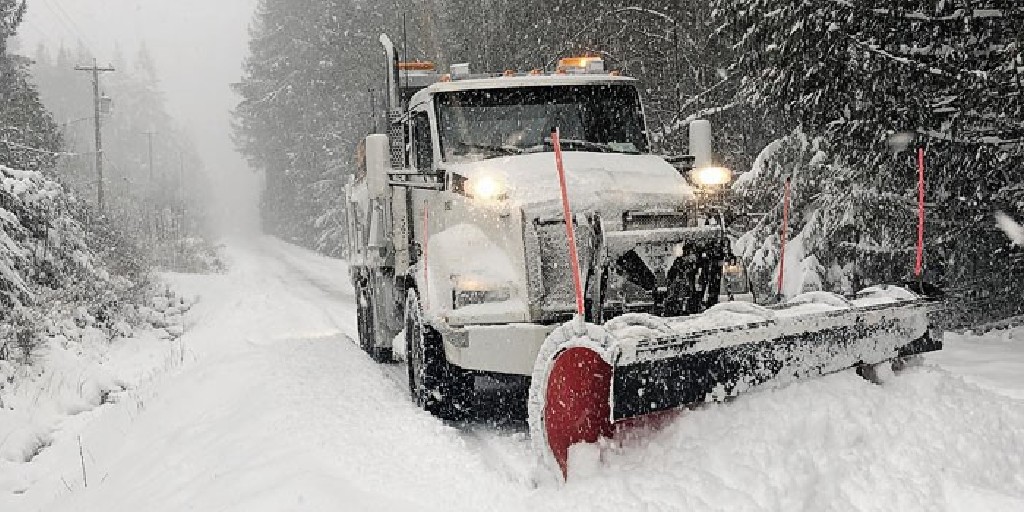
Snowfall accumulations will vary across the Lower Mainland. The heaviest snowfall is expected in North Vancouver, Coquitlam, and Maple Ridge, with 10 to 20 cm expected, except 25 cm over higher terrain. For the city of Vancouver, Burnaby, New Westminster, Surrey, Langley, and Abbotsford, 10 to 15 cm of snow is expected. For Richmond and Delta, 5 to 10 cm of snow is expected.
For Chilliwack and Hope, 20 to 25 cm of snow is expected from this evening to Wednesday evening.
This will all depend on how fast the weather makes the transition.
You have noticed that stores have stocked up on shovels, gloves and salt. Remember to take it easy if and when you do have to shovel the sidewalk and driveway. Not everyone is in “game shape”.