Fraser Valley – On Tuesday afternoon, a Special weather statement went into effect for:
- Fraser Valley – central including Chilliwack
- Fraser Valley – east including Hope
- Fraser Valley – west including Abbotsford
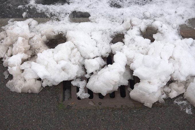
Snow is expected on Wednesday.
Locations: Metro Vancouver, Fraser Valley, Sunshine Coast, East Vancouver Island and the Malahat Highway.
Time span: Wednesday morning to Wednesday night.
Snowfall accumulations: 2 to 5 cm.
Remarks: A Pacific frontal system will move onto the B.C. South Coast on Wednesday. Freezing levels will initially be near sea level Wednesday morning and as a result precipitation will start as snow. Snowfall accumulations of 2 to 5 cm are forecast before warmer air pushes in late Wednesday afternoon and Wednesday night allowing the snow to change to rain.
Higher elevations of Metro Vancouver and Vancouver Island are likely to see higher accumulations, while regions closer to sea level may not see much accumulation.
Higher accumulations are also possible through the Central and Eastern Fraser Valley, including Chilliwack and Hope, where snow may persist into Thursday morning.
Be prepared to adjust your driving with changing road conditions.