Fraser Valley – UPDATE – Warnings were lifted after 1:30AM January 4.
01:28 EnvCanada ended warning #Rainfall #Abbotsford #BCStorm https://t.co/5ZUphCBi9j
— Abbotsford (@ECAlertBC81) January 4, 2019
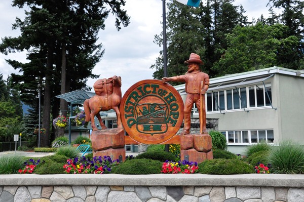
JANUARY 3 ORIGINAL STORY – A very moist Pacific frontal system will remain stalled over the region today and tonight resulting in continued heavy rainfall for the Fraser Valley. Total rainfall amounts will range from 50 to 80 mm except up to 100 mm near Hope. The rain will finally ease by Friday morning as the front moves out of the region.
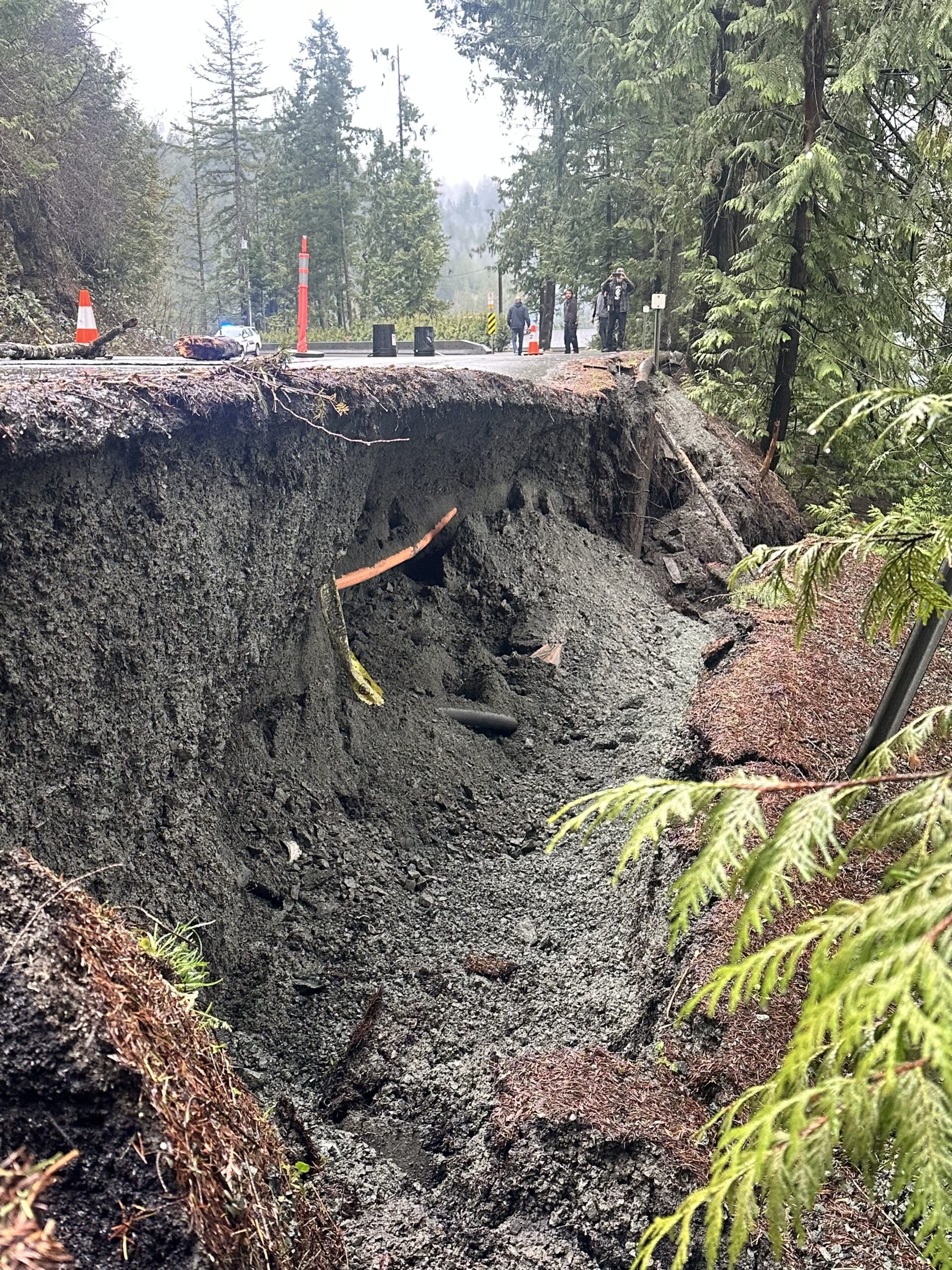
Localized flooding in low-lying areas is possible.
Winter storm warning in effect for:
- Coquihalla Highway – Hope to Merritt
- Highway 3 – Hope to Princeton via Allison Pass
For the Coquihalla – Storm total snowfall accumulations up to 35 centimetres possible by Friday morning as an intense frontal system stalls over southern British Columbia.
A messy period this morning as freezing levels vary from near Hope to the Coquihalla Summit depending on the intensity of the precipitation. This will result in challenging road conditions as snow and rain mix to create slushy and slippery surfaces. The warm front should make its way through this afternoon, changing the rain/snow mix to rain. There is the potential for freezing rain this morning and early afternoon as the warm front passes through.
For Highway 3 – Hazardous winter conditions are expected.
Freezing rain is
possible east of Allison Pass this morning and early this afternoon as
warm air overrides sub-zero surface temperatures.
The threat of freezing rain will diminish this afternoon.
Prepare for quickly changing and deteriorating travel conditions. Surfaces such as highways, roads, walkways and parking lots may become icy and slippery.