Fraser Valley – OK so far this winter is nothing compared to last year.
…and this time last year was a nightmare…
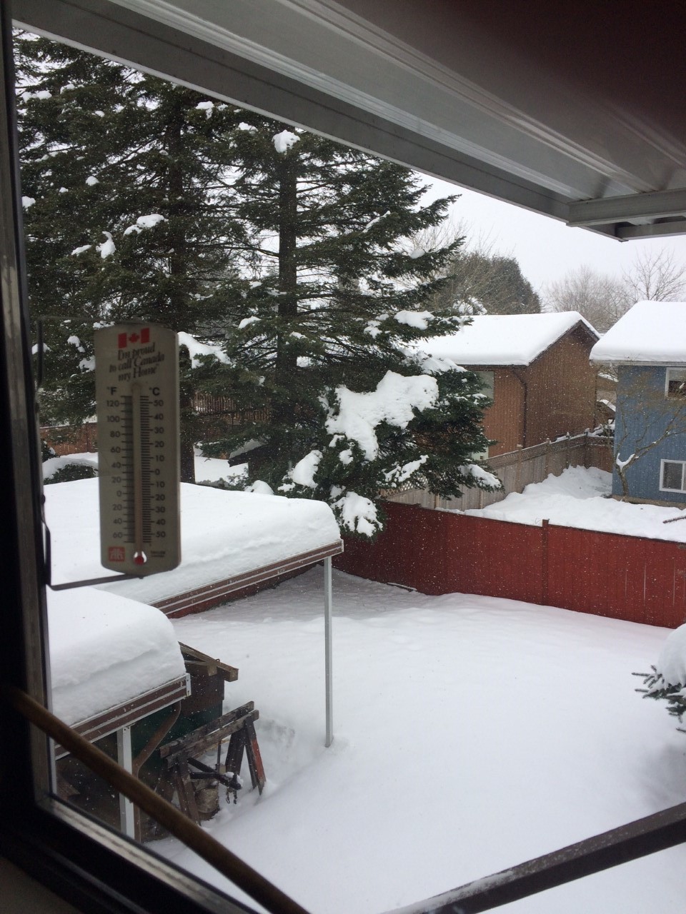
Environment Canada says there is the potential of 2-4 cms of snow on Christmas Eve. Obviously this depends on elevation and how the latest front works its way into the Valley.
Regardless, take your time on the roads and ENJOY ! (..and please don’t forget to clear ice from the driveways of seniors and those with mobility problems. Santa will thank you).
Alerts for: Fraser Valley
Statements
4:03 AM PST Saturday 23 December 2017
Special weather statement in effect for:
Fraser Valley – central including Chilliwack
Fraser Valley – east including Hope
Fraser Valley – west including Abbotsford
If you have been dreaming of a white Christmas this year, your dreams may just come true.
The likelihood of some snow is increasing as a weak frontal system over the Pacific approaches the BC Coast this weekend, reaching Vancouver Island on Sunday. An arctic ridge of high pressure will remain over the BC Interior into at least next week, spilling arctic air into the Georgia Basin. Around the south coast, daytime highs will struggle to rise above the freezing mark.
At present, snow is expected to develop across Vancouver Island during the day on Sunday and spread to the mainland coast by the evening. Confidence is increasing that snowfall amounts will range from 2 to 4 cm for the mainland and 5 to 10 cm over Vancouver Island.
If you have travel plans on Christmas Eve, please monitor forecasts and statements for updates.
Please continue to monitor alerts and forecasts issued by Environment Canada. To report severe weather, send an email to ec.tempetepacifique-pacificstorm.ec@canada.ca or tweet reports using #BCStorm.