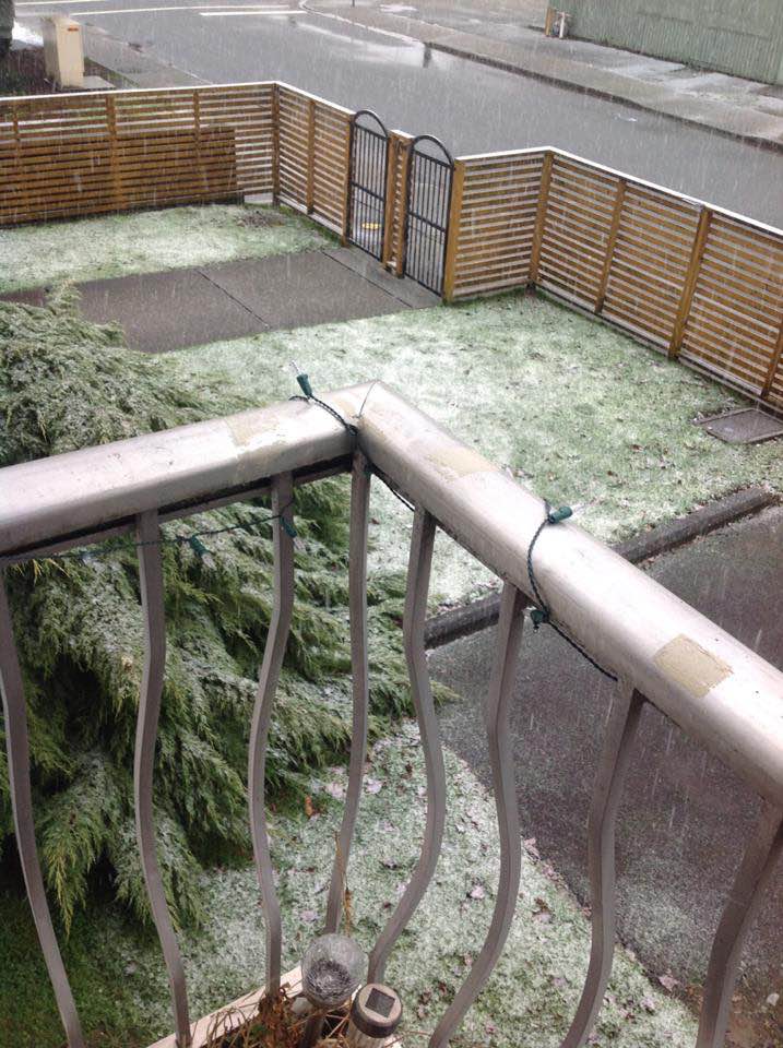
Fraser Valley – Usually by Valentine’s Day, we can start to breathe easy about snow. That was not the case last year and looks like it’s not this year either.
From Environment Canada Saturday Morning:
4:36 AM PST Saturday 17 February 2018
Special weather statement in effect for:
- Fraser Valley – central including Chilliwack
- Fraser Valley – east including Hope
- Fraser Valley – west including Abbotsford
An Arctic blast arrives tonight for the South Coast.
An area of low pressure is approaching the South Coast this morning over the South Coast. After the low exits tonight, a cold front will sweep across bringing snow, and a strong surge of Arctic air from the BC Interior in its wake. The potential for snow will continue on Sunday as conditions will remain cold and unsettled.
The surge of Arctic air will continue through the mainland valleys and inlets on Sunday ushering in the coldest air of the season for the inner South Coast. There is potential for wind warnings due to the outflow for southern sections of Metro Vancouver, Greater Victoria, Fraser Valley, and Howe Sound on Sunday.
The Arctic air will linger into the work week with daytime highs slightly above freezing and overnight lows approaching minus 10.